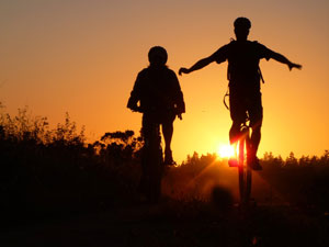
Rob's Ride
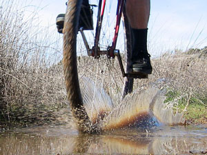
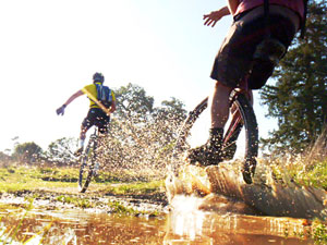
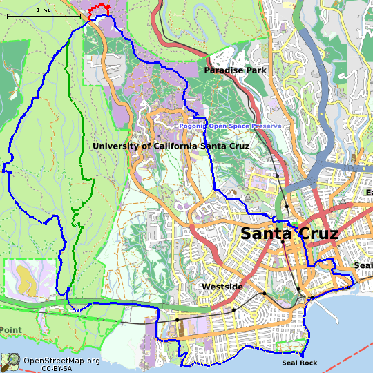 Rob's Ride, one of the top 10 named unicycle rides in the United
States, is just under 20 miles with 1550 feet of gross climb through
downtown
Santa Cruz, the
University,
the rolling hills of the
Wilder
Ranch State Park, and
West Cliff. The first seven miles include
approximately 1250 feet of climbing, and the remainder of the ride is
predominantly downhill. Surface conditions are predominantly pavement
and fire road (which can be muddy during the rainy season), and there
is an optional alternate route that includes technical singletrack.
Rob's Ride, one of the top 10 named unicycle rides in the United
States, is just under 20 miles with 1550 feet of gross climb through
downtown
Santa Cruz, the
University,
the rolling hills of the
Wilder
Ranch State Park, and
West Cliff. The first seven miles include
approximately 1250 feet of climbing, and the remainder of the ride is
predominantly downhill. Surface conditions are predominantly pavement
and fire road (which can be muddy during the rainy season), and there
is an optional alternate route that includes technical singletrack.
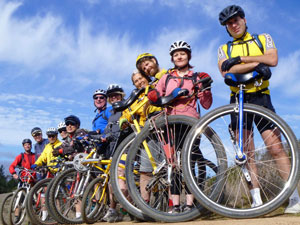
36" unicycles are the most common equipment on this ride, although a
fast rider on a 29" unicycle or a smaller geared unicycle should be
able to keep up. Many riders enjoy a geared 36" unicycle on this
ride. A brake is helpful on the downhill portions, but by no means
required. Due to the steep climbs, very short crank lengths are not
beneficial. The recommended crank length for a 36" unicycle is 150mm,
although short riders have used 140mm cranks with success. For riders
requiring a training wheel, a mountain or cyclocross bike is most
appropriate. Just visiting Santa Cruz and can't bring your ride? Don't
despair; a number of local riders have spare unicycles available for loan. Post
on the Google group "unicyclists"; please
include your seat height requirements in your request.
There is no food, little water, and few restrooms available on the
ride, so come prepared. Cellphone coverage is spotty in the
University and State Park areas, so be sure you have the parts and
tools you need for simple repairs (i.e. flat tires, loose cranks if
your unicycle is prone to them). The California coastal weather can
change quickly, so it is best to dress in layers that you can remove
as the day warms up or add if fog or rain arrive.
The ride starts at
118 Canfield Street, Santa Cruz, 95060. Take the
Ocean Street Exit at the end of SR-17 and continue down Ocean Street
to the end. Turn right onto San Lorenzo Blvd. Make your second right
onto Canfield Avenue and park.
The ride times are usually coordinated on the
Google group
"unicyclists"; the most
common time to fine a group of friends on this ride is Sunday mornings.
These maps were prepared to assist those unfamiliar with the route
should they become separated from the group. The maps and
turn-by-turn instructions include a number of mandatory stops, at
which every rider stops and we regroup. Please do not continue from
these stops until everyone is together unless you have told someone
you are leaving the group or "riding through", lest your friends
remain there waiting for you to arrive! Bicyclists: if this is your
first time riding with unicycles, please request the "unicycles stop
quicker than you" briefing.
GPS GPX tracks for these routes are available
here (traditional) and
here (Longmeadow alternate). GPS GPX
weighpoints for the mandatory stops are available
here. The inexpensive iPhone
application
MotionX GPS
can preload the base maps and these GPX
files for offline navigation. Printable maps and
turn-by-turn directions can be found
here; printed versions will be
provided to new riders.
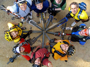
Photography by Rob Bowman
Corrections and suggestions to
Adelman@Adelman.COM - Kenneth Adelman
![[Hit counter]](cgi-bin/counter.pl)